
Applications
USEA Ocean Data makes project execution simple and predictable for our clients by automating offshore operations. Our efficient robotic systems enable significant energy- and time-efficient operations, with important back up from personnel at a Shore Control Centre.


Marine operation as well as real time quality control of robotic operations and sensor data acquisition can be performed remotely. Execution of projects with remotely operated robotics systems enable project managers, Unmanned Surface Vehicle (USV) and Unmanned Underwater Vehicles (UUV) operators as well as surveyors and data processors to collaborate and achievieng substantial project efficiency.
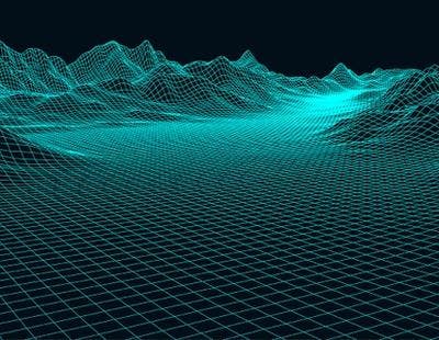
Marine mineral and geophysical seabed mapping
Autonomous Underwater Vehicles (AUVs) enable high quality, detailed mapping of the sea floor. Their unique ability to operate close to the sea floor with high grade sensors provides a clear view of the area of interest. AUV's operated with the USEA unmanned launch and recovery system (uLARS) will optimize the data gathering of large areas on the sea floor.

Bathymetric and hydrographic survey
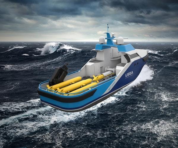
The unmanned surface vehicle (USV) is a capable platform for mapping sensors, and is designed to hold deep water Multi-Beam Echo-Sounders (MBES) as well as shallow water MBES systems and parametric Sub Bottom Profiler (SBP) systems. USEA unmanned launch and recovery system (uLARS) enables the utilization of autonomous underwater vehicles (AUVs) as sensor carriers operated from USVs. The result is a fully unmanned and autonomous offshore operation to a wide variety of surveys at different water depths. Time saved. Costs saved. Quality data collected.
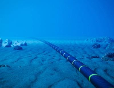
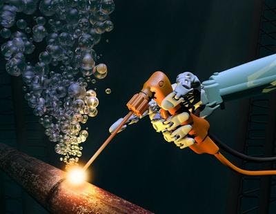
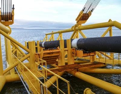
Pipeline and cable inspection
Autonomous Underwater Vehicles (AUV) are used for efficient mapping of external conditions of pipelines or cables and the seabed in close proximity of these. The stable platform of an AUV makes it ideal to carry sensors for this inspection. The current challenge is to launch and recover the AUVs, and to keep them in operation to maximise project outcomes. USEA has solved this problem with the development of our unmanned launch and recovery system (uLARS) that not only launch and recover the AUVs from unmanned surface vessels (USVs), but also enable the AUVs to be charged and to transfer the collected data whilst still submerged.
Inspection, maintenance and repair (IMR)
Inspection can be one of the most fundamental activities in the integrity management of subsea equipment. Using a fully automated and unmanned operational system can provide your organisation with accurate subsea data at quick turnaround and unparalleled cost efficiency and sustainability: USV -> uLARS -> AUV
Construction Support
Utilising autonomous underwater vehicles (AUVs) equipped with sensors and positioning technology, our unmanned and autonomous system USV-uLARS-AUV can deliver top-quality data at unparalleled time efficiency, without the need of large offshore vessels or time-consuming operations with LBL transponders.
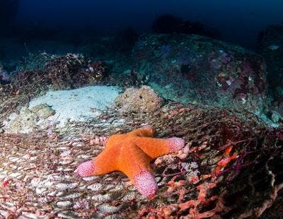
Oceanographic and environmental survey
With the ever-changing state of our oceans, the need for oceanographic and environmental data is on the rise and the need for safe and affordable methods for acquiring this data is increasing.
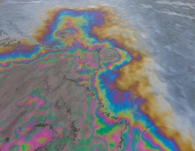
Emergency response
Response time by utilizing USEA fully autonomous and unmanned system can be faster than ever and introduces zero risk to personnel. There are multiple areas of use for such a technology to optimize crucial operations for emergency and rescue. The situational awareness sensors of the unmanned surface vehicle (USV) in combination with the high bandwidth communication systems that autonomous underwater vehicles (AUVs) can provide, critical information to decision makers can be delivered at an early stage of an emergency on surface and underwater.
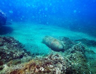
Unexploded ordnance (UXO) survey
The efficiency of autonomous underwater vehicles (AUVs) for large area seabed mapping is well suited for unexploded ordnance (UXO) surveys. The close range to the seabed enables the survey sensors to search for small objects efficiently, and the combination of an unmanned surface vehicle equipped with unmanned launch and recovery system (uLARS) makes this type of survey both fast, accurate and without risks for personnel.